01 / CULTURE
Smit & Ing Sad
The natural stop on your routeSmit is the village gateway to Laitlum. Ing Sad is a traditional Khasi cultural landmark; check local access and ask before photographing people or ceremonies.
Open in Google Maps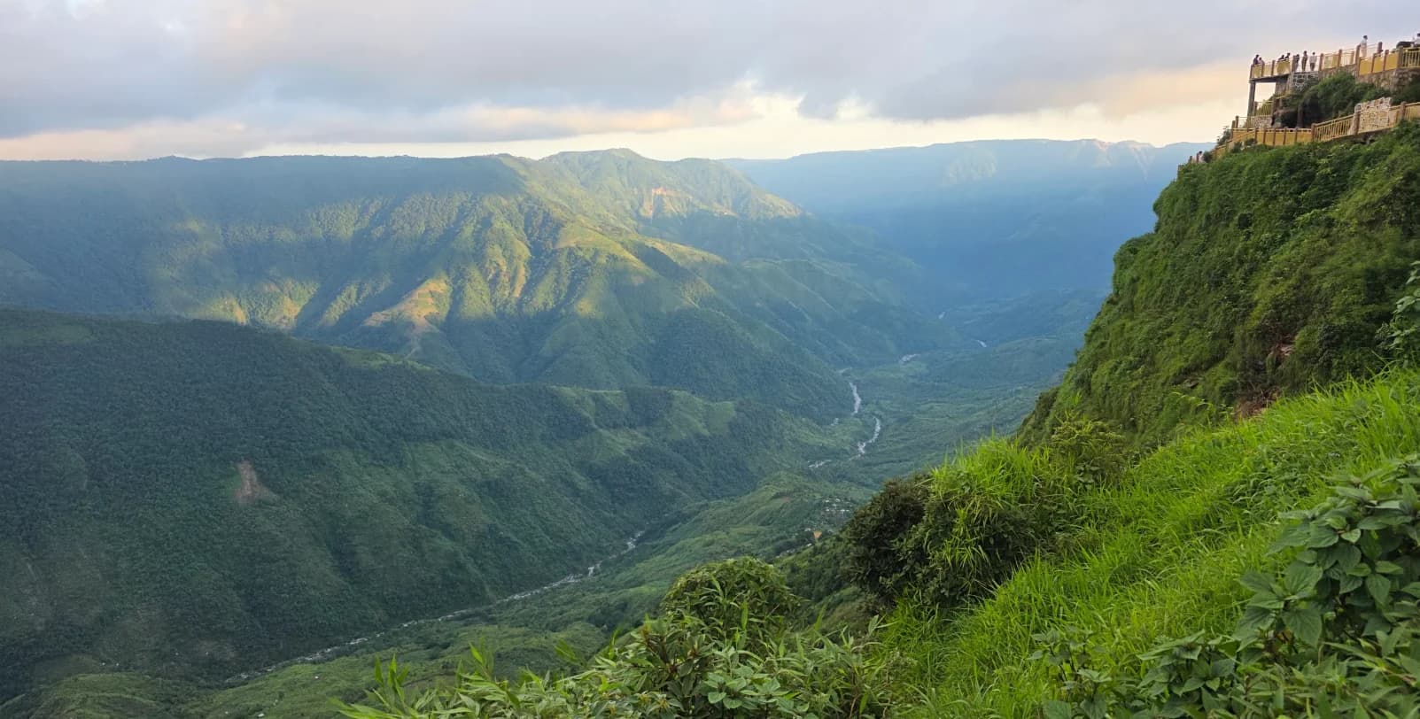
Where the clouds wander, the valleys unfold,
and the world feels a little further away.
Beyond Smit, the hills open into a broad grassy ridge. Below it: steep valleys, scattered villages and clouds moving between the slopes.
About 25 km from Shillong, Laitlum works well as a half-day viewpoint visit. Stay for the changing light, leave room for the weather, and treat the demanding descent to the valley as a separate trip.
From the first cloud to the last light. Laitlum, as it unfolds.
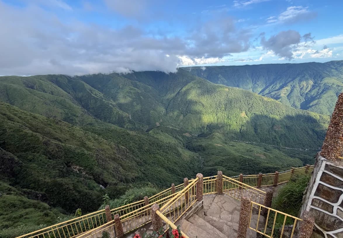
A short walk, a safe viewpoint, and a valley that goes on and on.
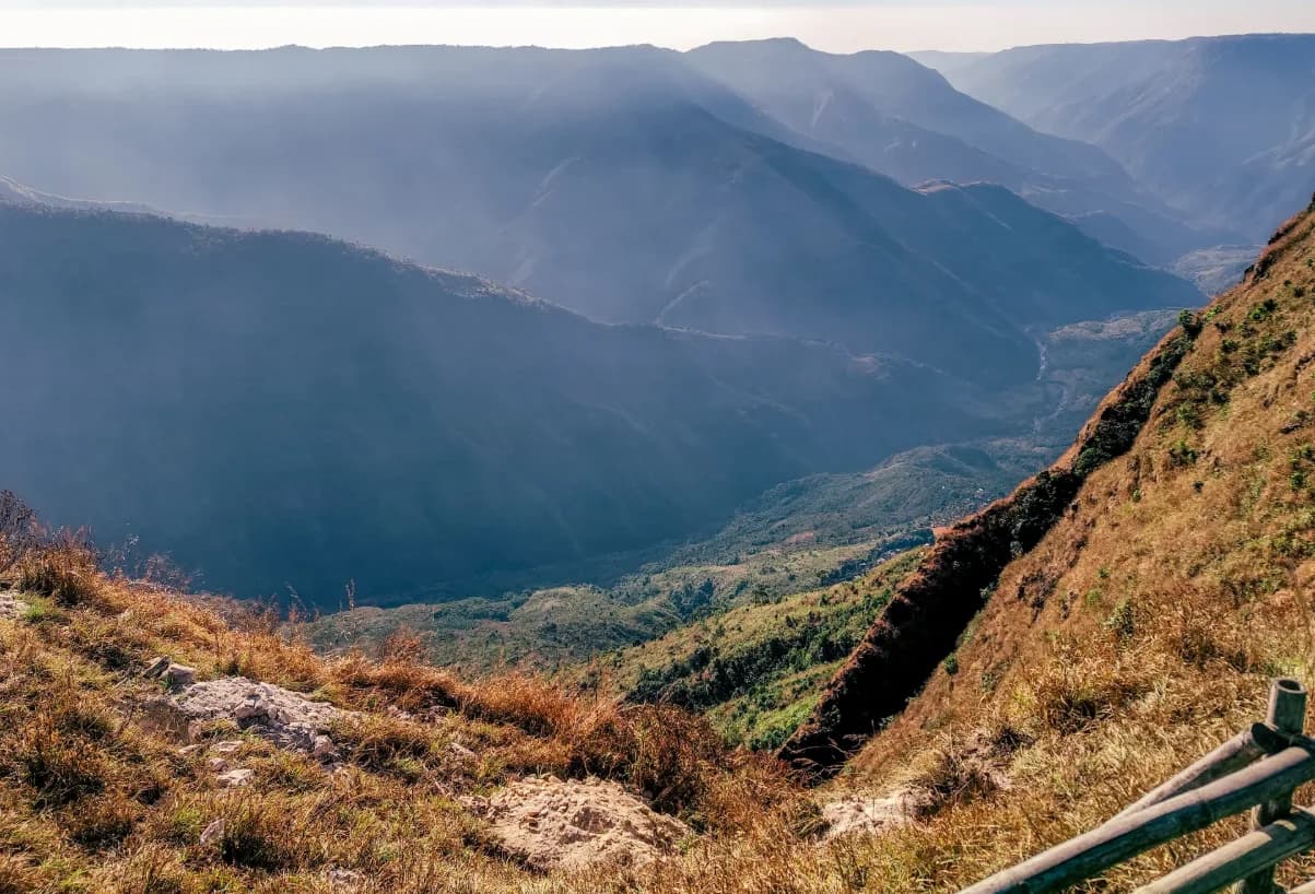
Watch the colours change. Let the weather, not the clock, set the mood.
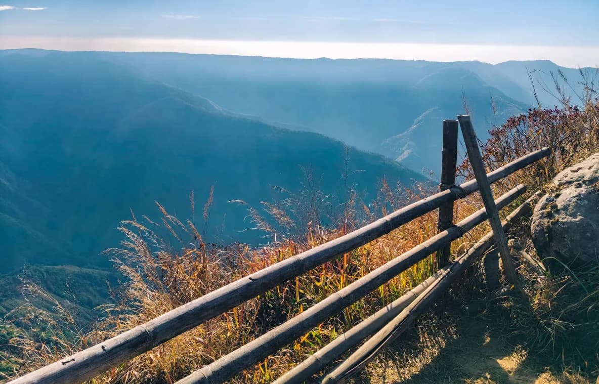
Pause along the hilltop paths, or plan a separate guided valley walk.
East Khasi Hills, Meghalaya
Connects to Google when loaded.About 25 km from Shillong, the canyon opens up beyond Smit village. Arrange the return journey before setting out.
View the locationDirections from ShillongRoad navigation is not a trekking route. Follow local advice for valley trails.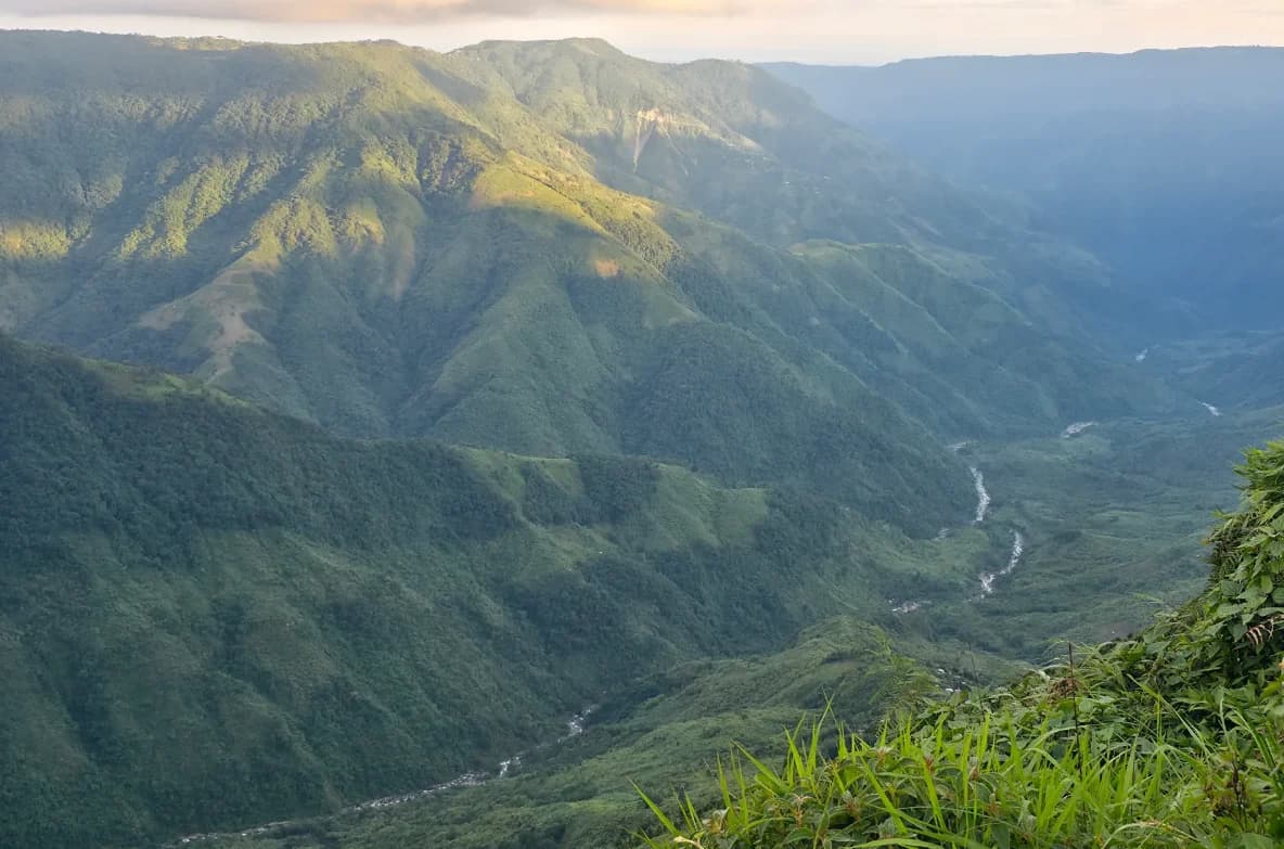
The paths towards the valley villages invite a closer look. But a steep descent means a demanding climb back. Give it a separate day, local guidance and the respect it deserves.
Different hours, different moods. The weather always has the final say.
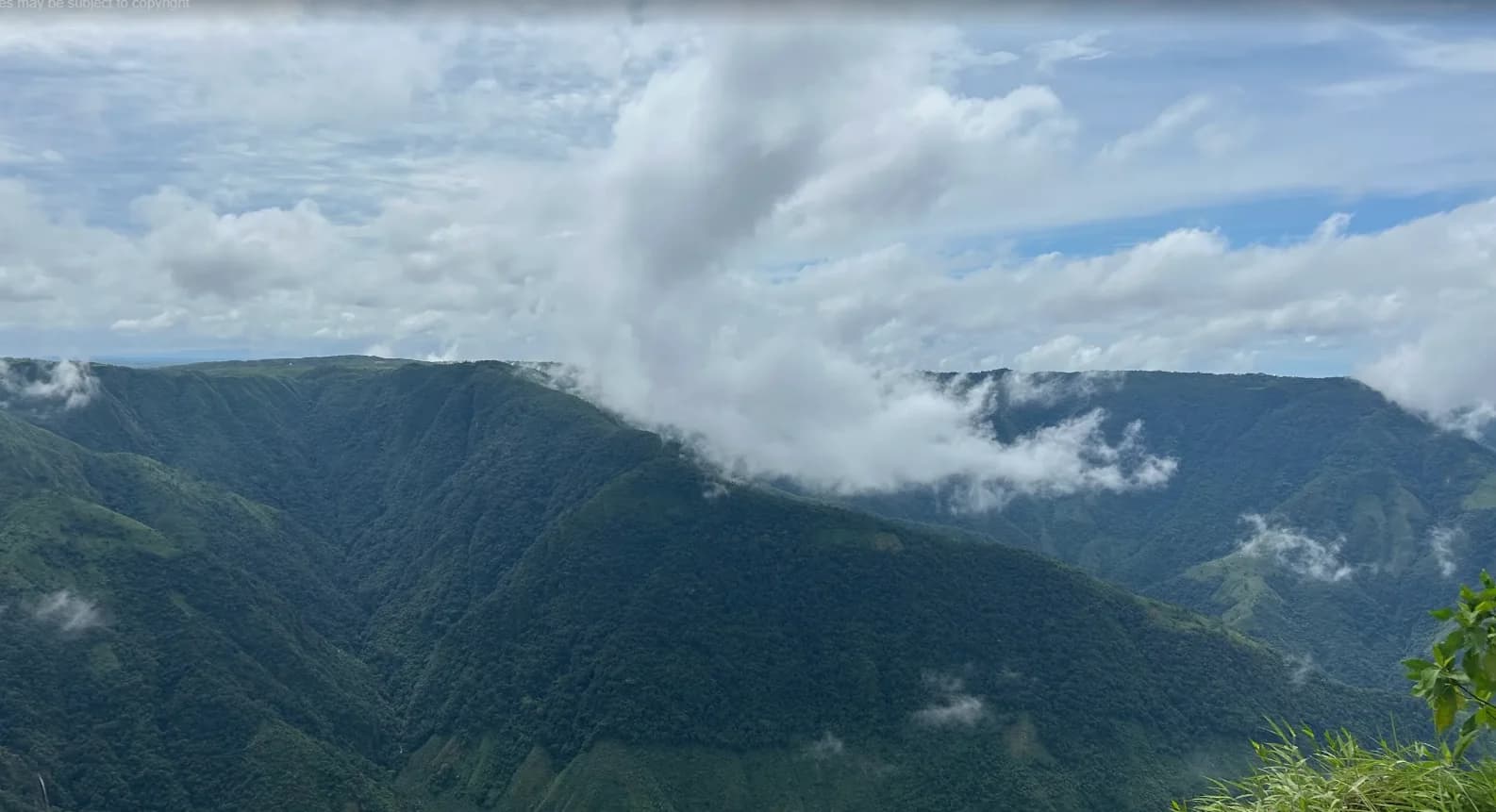
Fog may settle over the valley.
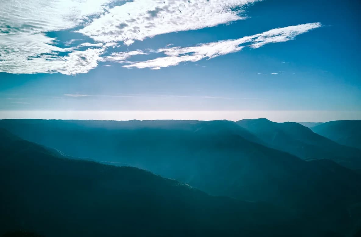
A chance of clearer views, not a promise.
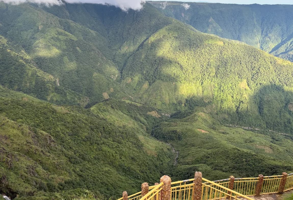
Stay flexible as clouds move through.
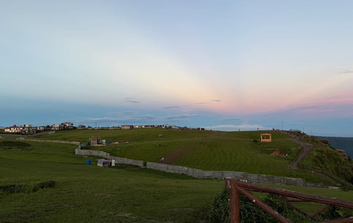
Check sunset and plan a safe return.
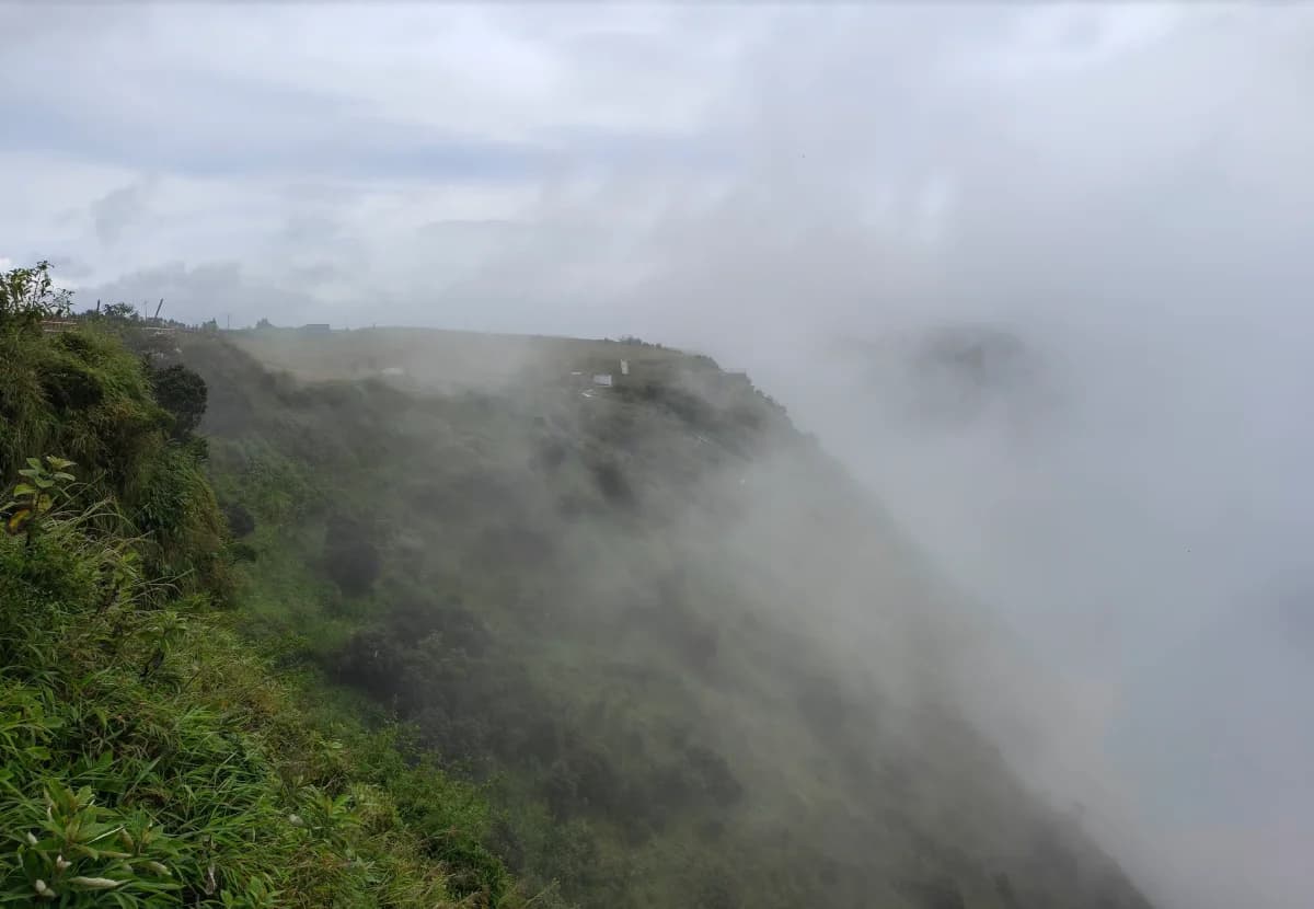
Rain and slippery paths can limit access.
Photographs illustrate possible moods, not verified capture times or current conditions.
Checking the forecast...
Smit is the village gateway to Laitlum. Ing Sad is a traditional Khasi cultural landmark; check local access and ask before photographing people or ceremonies.
Open in Google MapsA hill destination known for valley and cloud views. It is listed by Meghalaya Tourism as a nearby attraction, but nearby does not mean a quick roadside stop.
Open in Google MapsA city-view stop to consider during a Shillong-based visit. Entry arrangements, identity checks and access can change; confirm locally before travelling.
Open in Google MapsA pre-arranged return taxi, a light layer and a flexible plan.
Walk to a safe viewpoint and take time to watch the valley.
Stay on established paths; tea if the local stalls are open.
A short stop only if local access and your schedule allow.
Indicative timing. Add a buffer for traffic and rain.
Stay in Shillong for convenience, explore options around Smit for a quieter setting, or ask about locally run homestays. Confirm meals, transport and availability directly.
Laitlum is known for wide canyon views, steep green valleys, grassy hilltops and changing clouds. The main viewpoint is popular for landscape photography and a relaxed outing from Shillong. A walk into the valley is a separate, more demanding activity.
No. Laitlum is near Smit in the East Khasi Hills, approximately 25 km from Shillong. Cherrapunji, also called Sohra, is a different destination. Specify the canyon viewpoint near Smit when arranging transport.
Laitlum is commonly translated as the end of the hills. The dramatic drop from the grassy ridge into the valley explains the nickname. End of the world is a travel description, not a literal location or the usual translation of the name.
Allow 1-2 hours at the main viewpoint plus travel time, as a planning suggestion. A half-day outing from Shillong leaves more flexibility for traffic and cloud. A valley trek needs a separate guide-led plan and considerably more time.
Meghalaya Tourism recommends October to May. Clear weather matters more than a fixed hour. Fog, rain and cloud can obscure the view at any time; check the forecast and allow flexibility.
We have not verified a current official weekly opening schedule. Confirm Sunday access and closing time with your host, driver or the Meghalaya Tourism travel desk before leaving. Outdoor viewpoints can still have local closures and weather restrictions.